


We
walked the town again and took pictures in the morning light. Apalachicola was the third largest cotton
port in the US in the early 19th century. In 1822, the first cotton shipment left; by
1830 here were 43 brick buildings with granite columns warehousing cotton,
earning it the name of “city of granite fronts”; by 1840, 160,000 bales of
cotton passed through with $6M-$8M of yearly receipts; in 1860 they did $14M in
total business. Between 1828-1928, 204
riverboats ran on the Apalachicola River.


We
met the sailboaters we had passed the day before, a young couple with a 24
month old son from Holland, MI. Their
boat name is Raising Havik, Havik
being the name of their young son.
At
8:35am we left the dock and it was warm already. The Boss Oyster boat left just before us,
presumably to gather oysters for the night’s meals. We passed under the John Gorrie Memorial
Bridge to the ICW, going to the East Pass to the Gulf. John Gorrie invented the first ice machine
which led to air conditioning in the south and eventually the nation. There were lots of oyster oats around the
bridge, bringing up the catch in nets.


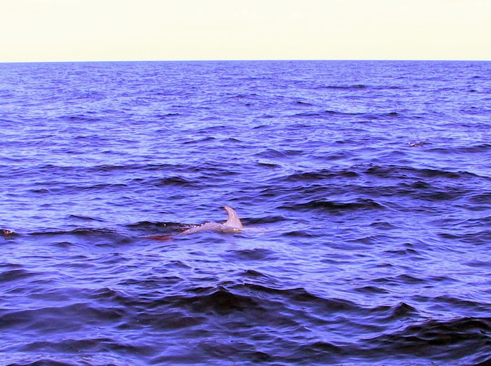
There are some homes at Royal Bluff as we headed east. St. George’s Island and Dog Island flanked the East Pass and we left St. George’s Sound and entered the Gulf at 9:38am. There was 155 nautical miles to go to get to Clearwater. We battled 3 foot waves until noon, when it began to settle down to 2 foot waves. Because the waves were coming at in the exact direction we were heading, Captain Randy kept changing our course – sometime heading directly into the waves and sometimes running the troughs - in order to keep us moving at a decent speed so that we would arrive in Clearwater before sunset. The outside oar on our dinghy jars loose when the water gets rough and after twice securing it, I wire tied it to prevent it coming loose again. During the crossing, we only saw 3 boats until about 40 miles out of Clearwater, but did see dolphins. There was a barge in the distance.


At about 50 miles off shore the Gulf began to really settle down to 1 footers and we were able to pick up our speed. That break lasted about 30 minutes because about 40 miles form shore we began seeing the crab pot markers. The closer we got, the more markers we saw. If you run over them, the lines become tangled in the props of the boat, causing damage. The last hour or so of this 9.5 hour day was harrowing as we had to watch closely to avoid these markers. There was a “purple haze” off shore that added to the difficulty of spotting the markers. Despite the waves and the crab pots, we docked at the Clearwater Beach Municipal Marina at sunset (about 6 pm).


That
night we walked a short distance to Crabby Bill’s restaurant, tired and hungry
from our long day on the Gulf, thankful that we survived the journey without any problems.


I really liked your Information. Keep up the good work. Logistics Panama
ReplyDelete